
Hike from the parking lot of Kokomo Beach / Vaersenbay through the area of Malpais to the Seru Jamanika and back via another route.
Highlights of this trip:
- Nice small bay (Boka Uniko)
- Nice nature in the area of Malpais (former plantation)
For more information about the former Sisal plantation check this link (Dutch) - View over the lake that disappeared (Lago Disparsé)
- View from the side of the Seru Jamanika
Parking
The hike starts at the parking lot of Kokomo Beach / Vaersenbay; the beach opens at 8AM and from then on there is a guard on duty. Dont take up to much parking space because it can be busy especially in the weekend. Park close to the other cars and line up with the street or the side of the parking lot.
Description of the trail
For a map of the trail check the download link below under the heading "Trail map". Also the track is available for download there.
With your back towards the entrance of Kokomo Beach there are yellow stones at the left-hand side of the parking lot. There are two sets of stones; the first set is the entrance to the steapest slope uphill, the second set is the starting point of a more gradual climb uphill.
At the top of the climb via the first set of stones you go left and follow the path on top of the cliff. Via the second set of stones you reach the same path on top of the cliff. Follow this path till it goes downhill again. Descend carefully here; the underground is loose gravel and you easily slip. When you reach the crossing turn left to go to Boka Uniko. After enjoying this small bay you return to the crossing and continue straight on. You will walk through a kind of dry river bed. After heavy rain the water from the hill flows to the sea here. After a while you reach the asphalt road, the Weg naar Bullenbaai. Stay on the left side of this road and walk along the road till you see the entrance of Malpais marked with a sign (Binà trail). Cross the road and enter Malpais.
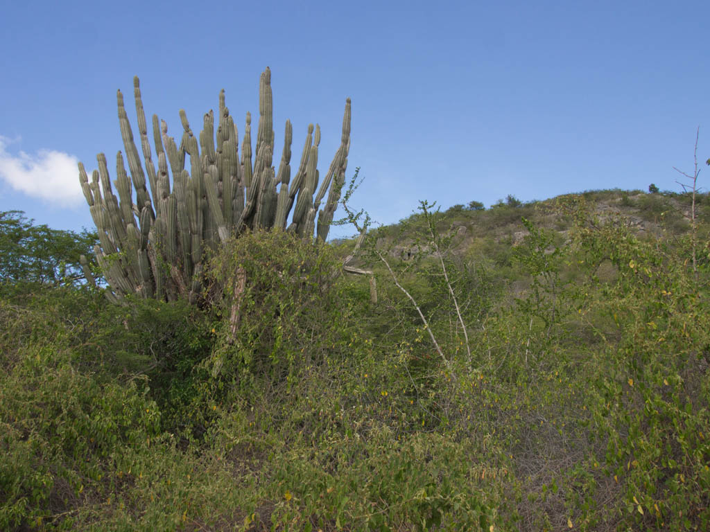
Follow the Binà trail till you reach a sign Seru Jamanika; there you go left following the direction on the sign. You walk through an area with a lot of gumb trees (Palu di sia and its cousing the Takamahak). After a short while you will see a lot of Sisal agaves. These are the remains of the former Sisal plantation here. Stay on the path. It will lead you ever closer to the Seru Jamanika.
Then you have to climb the mountain. It starts gradually but gets quite steep after a while. The underground is loose sand and rocks so proceed carefully.
After a short climb you reach a plateau where the path continues. It is not the highest part of this long mountain; you will not reach the highest point during this hike. At a certain point you cross an area of large and sharp rocks; be extra careful here because you don't want to fall on these sharp rocks.
Don't forget to look around; you have a nice view on the surroundings. After a while the path descends. Just follow the path. It will lead you after quite a while to the former Shell dam shortly after you pass another path coming from the right. That is the path that you would have taken when you did not follow the route to the Seru Jamanika at the sign but went straight on there. Maybe someting for another time.
At the dam you go left. You walk on some old asphalt. This dam was constructed by the Shell to create a large lake with water for the refinery. Apparently this project was not very successful because the lake is now known as Lago Disparsé (the lake that disappeared). Enjoy the view here. If you want you can try to descend into the "lake" and walk over the bottom. When you reach the former pump installation you have to go back to the top of the dam. If you stayed on top of the dam you will see the former pump installation at your left.
Continue on the dam and then turn right when you reach the broad dirt road . This dirt road leads to the asphalt road (Weg naar Bullenbaai). You can continue till you reach the asphalt road or turn right soon after you pass some old buildings at your left. That small path leads to a normally dry saliña. Cross that saliña diagonally to exit the saliña opposite the entrance to the parking lot of Kokomo beach. Cross the road and walk back to the car.
ATTENTION: this is a challenging hike. You should have a good physical condition; also you should have some climbing skills and not have fear of heights. The hike is less suitable for kids.
Track of this hike on Wikiloc
Link to the track of this hike on Wikiloc (opens in a new window).
The track can be downloaded but a better option is to install the Wikiloc app on your smartphone; when you click on the download link with the app installed on your phone the link opens in Wikiloc (can take some time) and you are able to follow the track.
Location
Pictures
 The lake that disappeared - Lagu disparsé
 View on the tanks of the Curaçao Oil Terminal
 The descend is not always easy
 Nice flower - leaves smell like mint
 Large Agaves along the path
 Another nice flower
 This device was used to show the water level
 The dry lake as seen from the floor of the lake
 Boka Uniko
 Roi Kenepa


Trail map (download)
Map with route; right click and Save As GPS track Visit Website